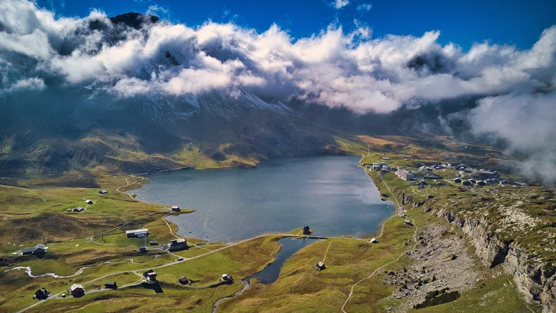
This weekend
Ideas for your next day out
Pick what you feel like: the hikes that match, flown over in 3D before you go.
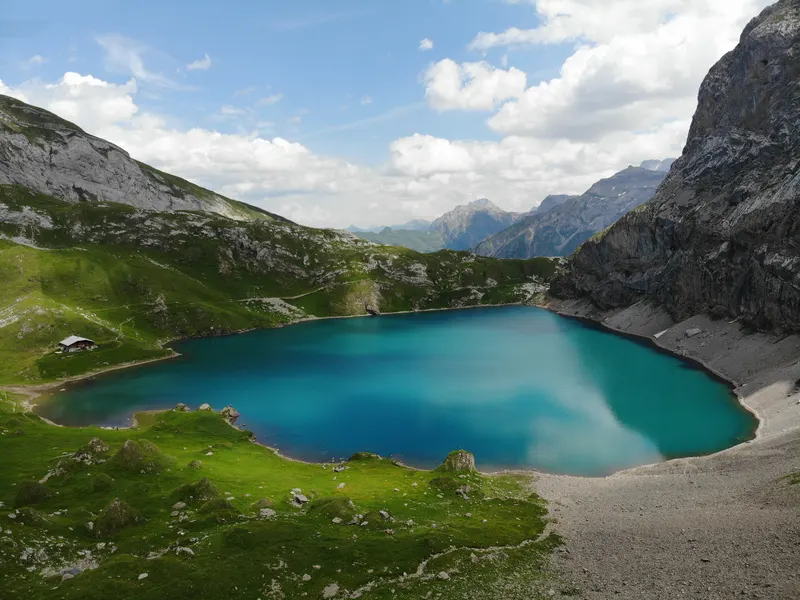
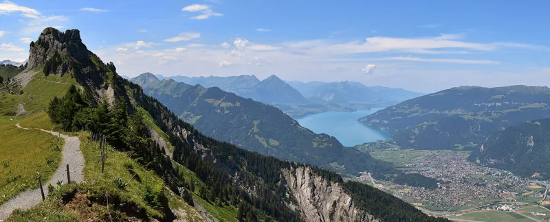
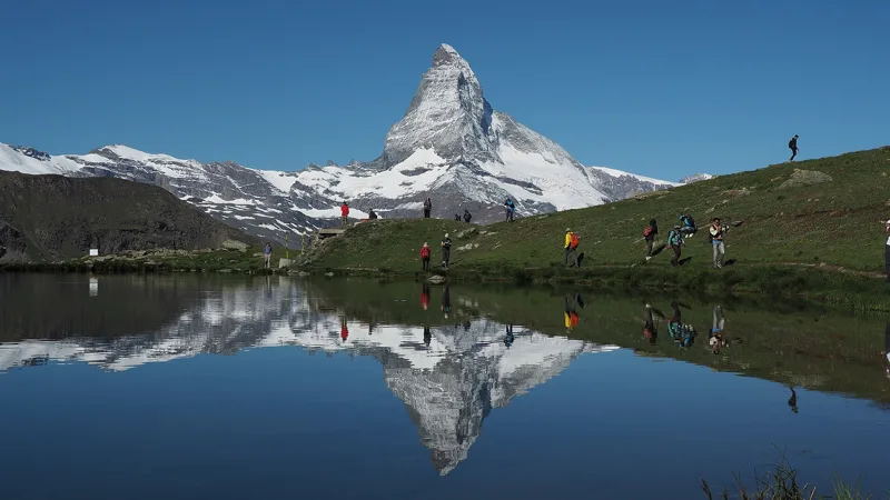
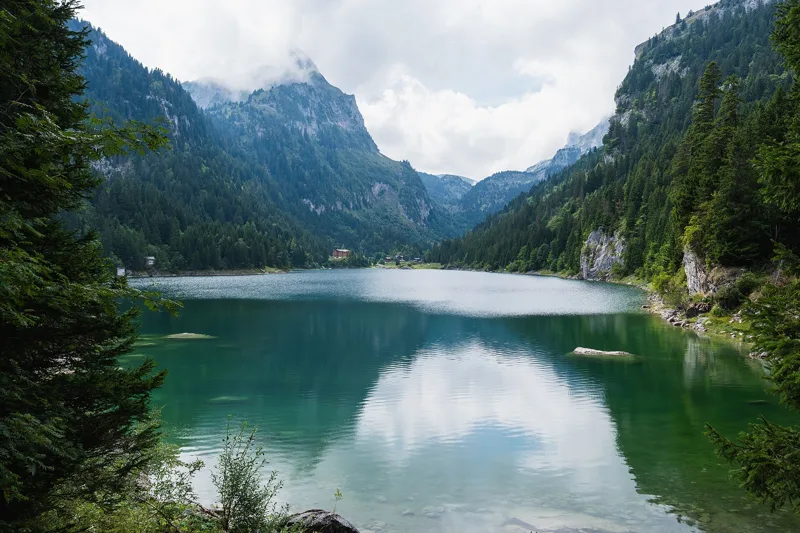
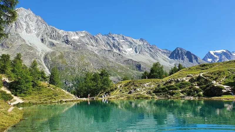
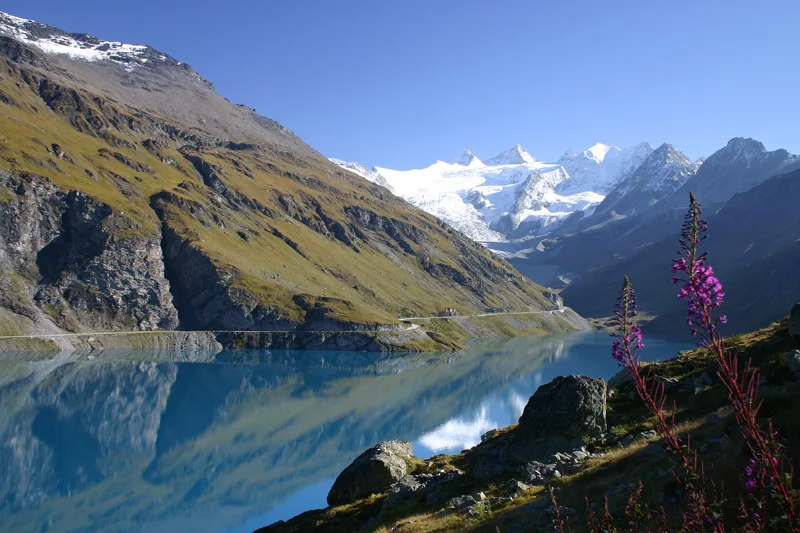
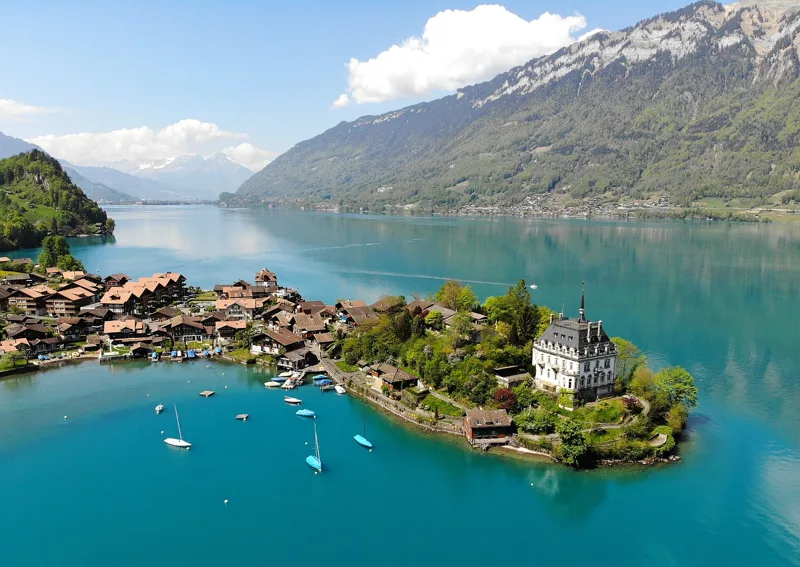
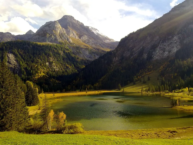
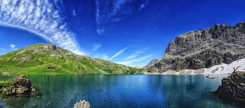
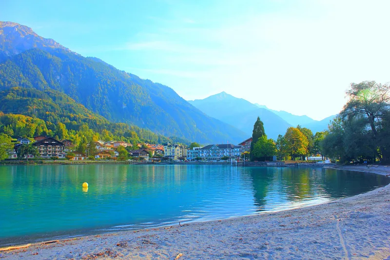
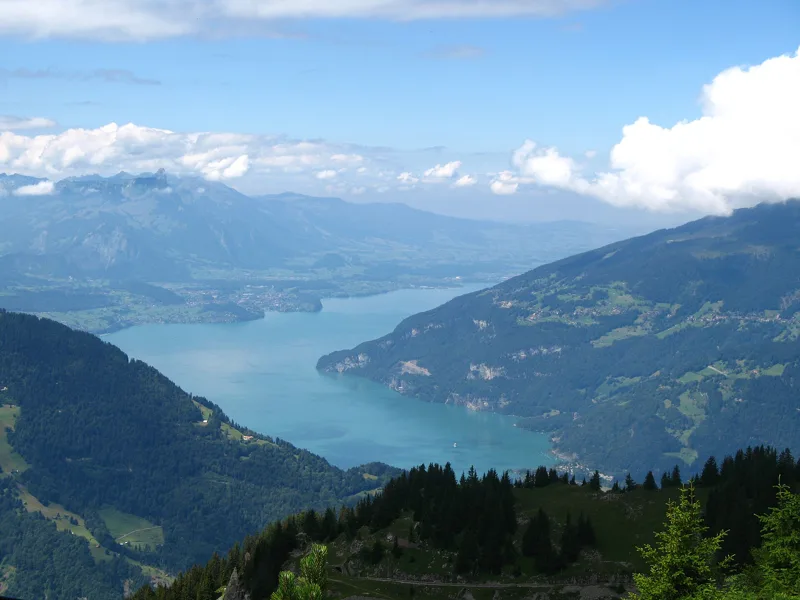
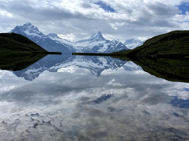
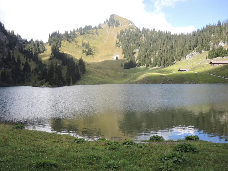
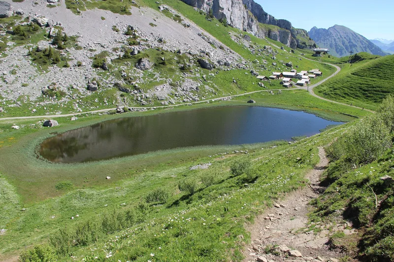
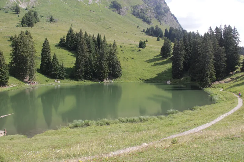
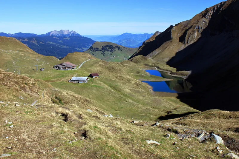
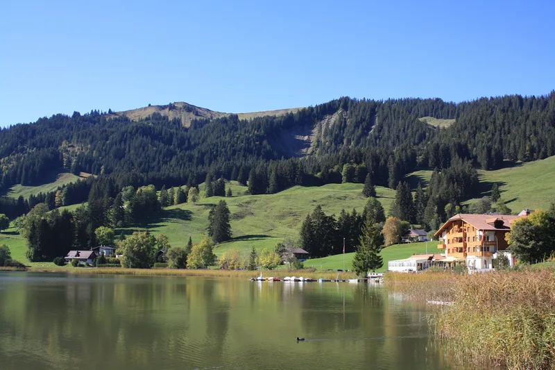
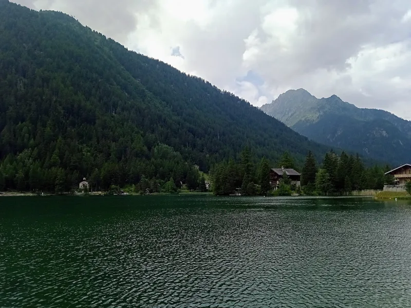
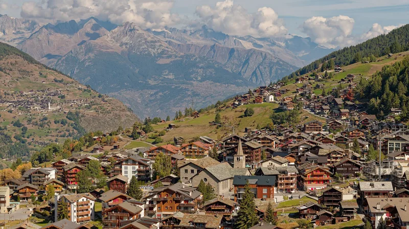
22 hikesBy a lakeHikes that run along the water, from lakes reflecting the Matterhorn to the Lauenensee.
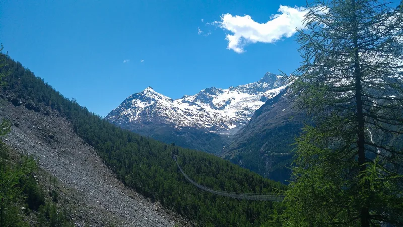
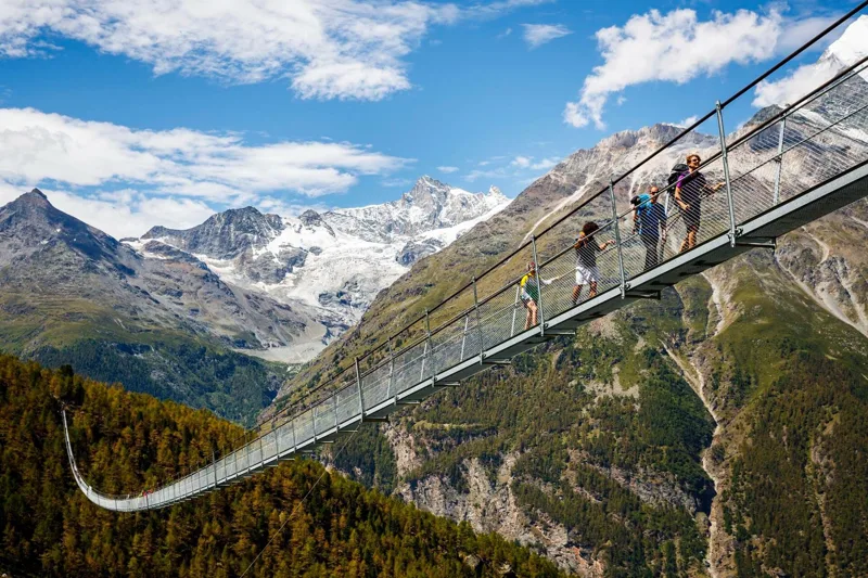
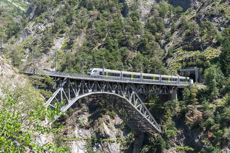
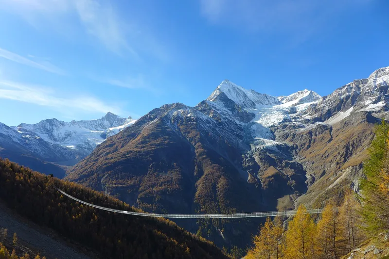
13 hikesBisses and bridgesFollow the water of the old irrigation channels, cross a suspension bridge or 18th-century stone bridges.
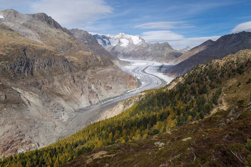
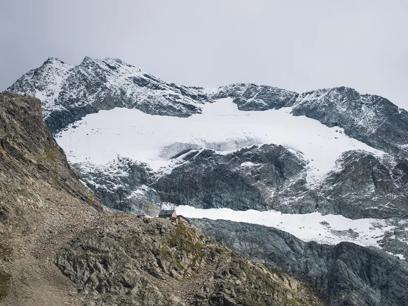
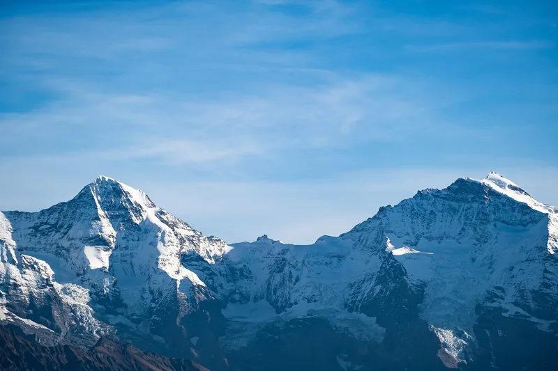
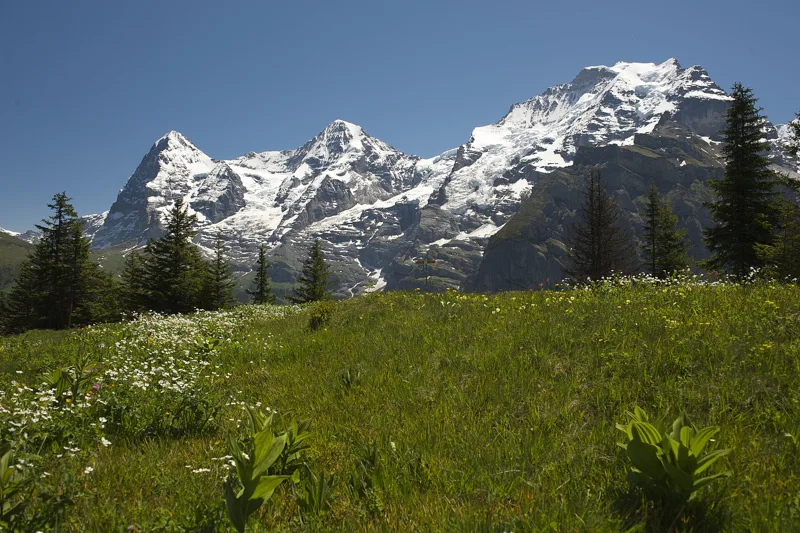
7 hikesFacing the glaciersWalk at the foot of the ice, where the measurements show it retreating.
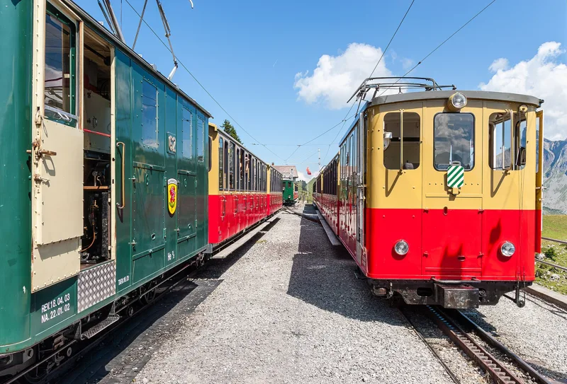
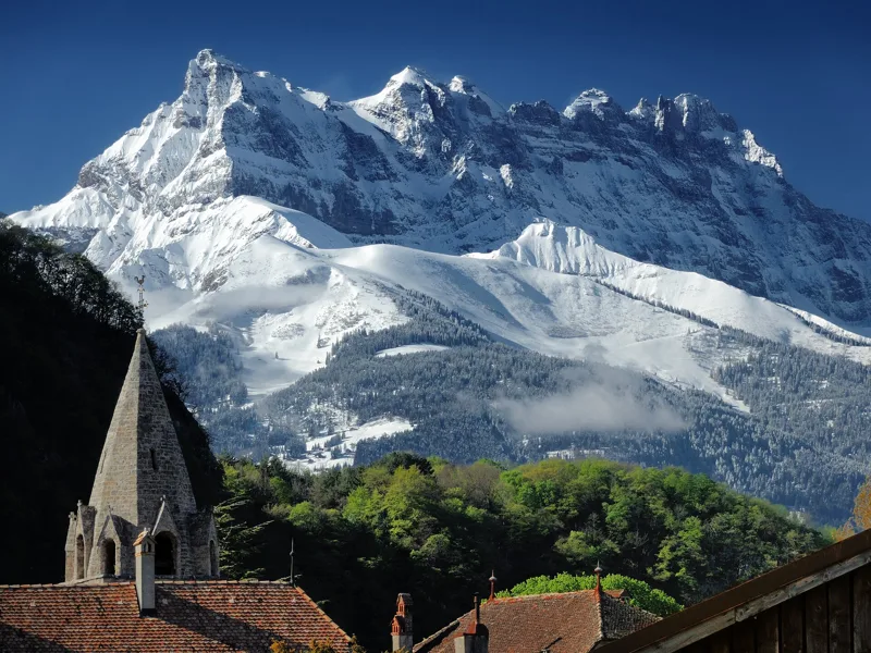
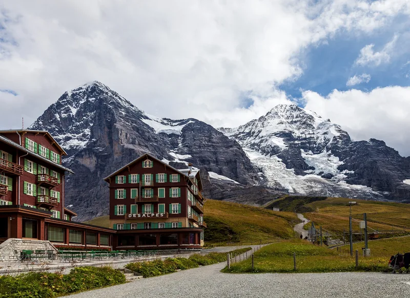
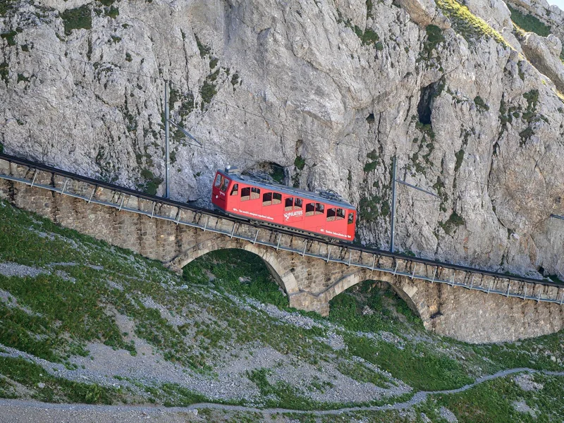
16 hikesMountain railwaysCog railways from 1892 and 1893, and the train that runs through the Eiger.
11 hikesShort, 2 h 30 or lessFor half a day: 2 h 30 of walking or less (official time).
18 hikesA big dayA thousand metres of climbing or more.
Guides and categories
Choose, get ready and go: practical guides, and hikes by category.
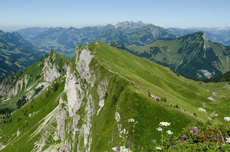
Trail runningEvery Bivio hike is also a run. Here you get its km-effort, a distance adjusted for the climb, to compare with your races, plus what you need to know to share the trail and travel light without cutting corners.
With the familyHere Bivio keeps only the easy, short hikes with little climbing. You'll also find the right pace for little legs and what to keep an eye on along the way.
Multi-day hikesSwitzerland's official hiking network signposts long routes split into stages, from 3 to 43 depending on the trail. Here are the ones that cross Bivio's regions, where to sleep along the way, and the rules for bivouacking.
The best hikes18 hikes you shouldn't miss, three per region. Here's why we chose them, and how hikers will soon have the final say.
Stories along the trail
What happened where you're about to walk.
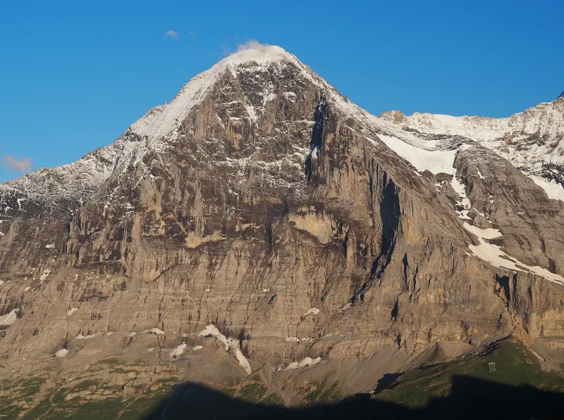
The North Face, 1858 to 1938
The Eiger was first climbed on 11 August 1858, via the west flank, by Irish climber Charles Barrington with the guides Christian Almer and Peter Bohren.
Eiger Trail1 h 55
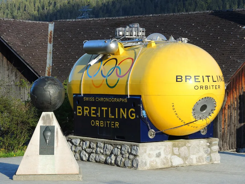
The village where the balloon set off around the world
In 1800, a great fire destroyed the wooden houses built on the central hill of Château-d'Oex. The dean Philippe-Sirice Bridel raised money to rebuild the village in stone.
Château-d'Oex → L'Etivaz5 h 30
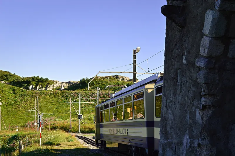
A railway built with mules
Work began on 10 March 1891. Engineer Adolphe Jaques ran the site, and building materials went up on mules. The rack railway opened on 27 July 1892, after less than two years of work.
Rochers-de-Naye5 h 35
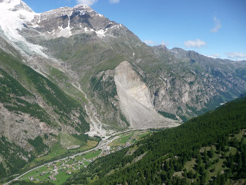
When the mountain came down
In 1991, three rockslides broke away from the Längenfluhberg: about 15 million m³ of rock on 18 April, 100,000 m³ on 21 April and 33 million m³ on 9 May.
Randa Hängebrückenweg3 h 10
6 regions, 67 hikes
Every region with all its hikes. Swipe to browse them.
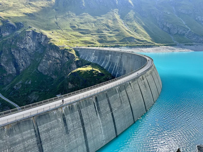
Valais
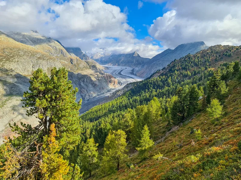
20 hikes, 1 h 55 to 7 h 40 of walkingThe region guide Don't missRiederalp, Riederfurka3 h 45Blatten, Belalp → Riederalp, Riederfurka9.9kmDistance700mAscent740mDescentTechnical mediumFrom Belalp, over the suspension bridge across the Massa gorge, up to the old pines of the Aletsch Forest.
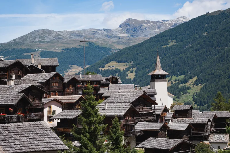
Don't missGrimentz5 h 25Vercorin → Grimentz16.8kmDistance900mAscent660mDescentTechnical easyFrom Vercorin to old Grimentz, village after village and along the Grand Bisse de St-Jean, to finish the Chemin des Bisses.
Don't missCrans-Montana, Aminona4 h 30Sentier Panorama 400013.6kmDistance540mAscent1,300mDescentTechnical mediumFrom Cry d'Er to the Tièche valley, facing the highest peaks of the Valais, then along the Tsittoret bisse and through the forest down to Aminona.
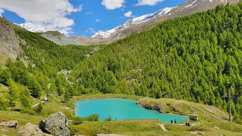
Zermatt, Sunnegga3 h 155-Seenweg Zermatt11.3kmDistance380mAscent660mDescentTechnical mediumFive mountain lakes one after another, the Matterhorn reflected in several of them, and an old summer hamlet between the last two.
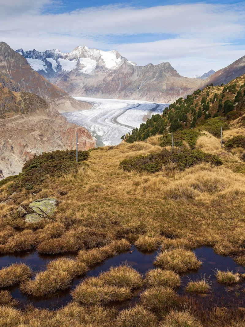
Loop from Riederalp, Moosfluh2 h 35Aletschgletscher Aussichtsweg6.6kmDistance500mAscent500mDescentTechnical mediumA loop from Moosfluh that drops towards the longest glacier in the Alps, then climbs back and skirts the Greicheralp.
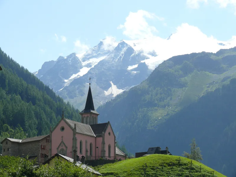
Trient5 h 30Champex → Trient16.3kmDistance880mAscent1,050mDescentTechnical mediumFrom the lake at Champex up to the Bovine pasture, then over the Col de la Forclaz, where the Trient ice once set off, and down to the pink church.
Miex, Le Flon3 h 00Chemin du Lac de Taney8.4kmDistance640mAscent540mDescentTechnical mediumA mountain lake high above the Rhône plain, ringed by forest and rock walls, and an old mule track to take you back down to Miex.
Leukerbad7 h 40Crans-Montana → Leukerbad24.4kmDistance1,150mAscent1,250mDescentTechnical mediumFrom French-speaking Crans-Montana to the hot baths of Leukerbad, across high pastures, the language border and a long descent to warm water.
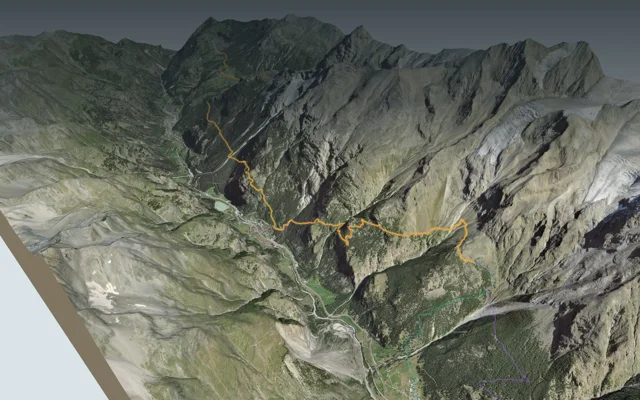
Zermatt6 h 45Europaweg: Europahütte → Zermatt19.5kmDistance1,000mAscent1,650mDescentTechnical mediumA long balcony above the Mattertal, from the great suspension bridge at Randa to the barns of Tufteren, facing the Matterhorn, all the way to Zermatt.
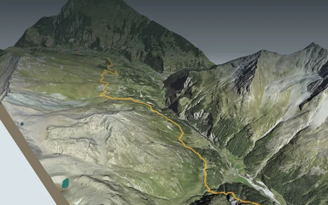
Europahütte7 h 10Europaweg: Grächen → Europahütte16.9kmDistance1,700mAscent1,050mDescentTechnical mediumAlong an irrigation channel to Gasenried, through the forest down to Herbriggen, then the long climb to the hut above Randa.
Arolla6 h 20Evolène → Arolla15.0kmDistance1,500mAscent880mDescentTechnical mediumFrom Evolène up through the high Val d'Arolla to Lac Bleu, then on to Arolla, an old summer pasture turned mountaineering centre.
Ausserberg3 h 45Gampel → Ausserberg12.0kmDistance620mAscent240mDescentTechnical easyOn the south-facing side of the Rhône valley, from Gampel to Ausserberg past the Lötschberg line, its irrigation channels, its gorges and its rocky steppe.
Saas-Fee2 h 20Gemsweg Saas-Fee7.9kmDistance190mAscent720mDescentTechnical mediumFrom Hannig station down to the village of Saas-Fee, along the slopes of the Mischabel and the old moraine of the Fee Glacier.
Arbaz, Etang-Long3 h 10Grand Bisse d'Ayent12.0kmDistance150mAscent620mDescentTechnical mediumFrom Lake Tseuzier to the Mayens d'Arbaz, along a fifteenth-century irrigation channel and its restored cliff-side gutters at Torrent-Croix.
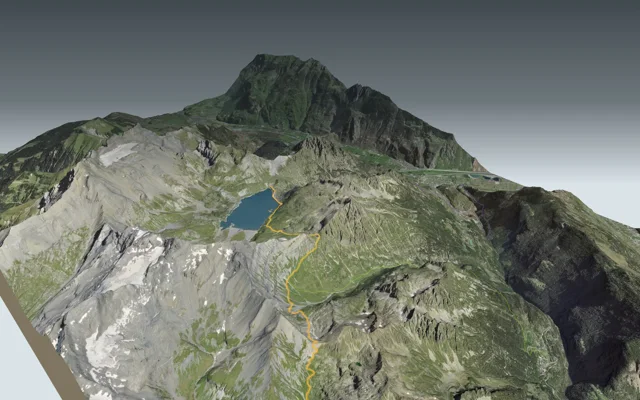
Champex-Lac4 h 30La Fouly → Champex-Lac15.2kmDistance600mAscent740mDescentTechnical easyDown the Val Ferret from village to village as far as Issert, then back up to the lake at Champex.
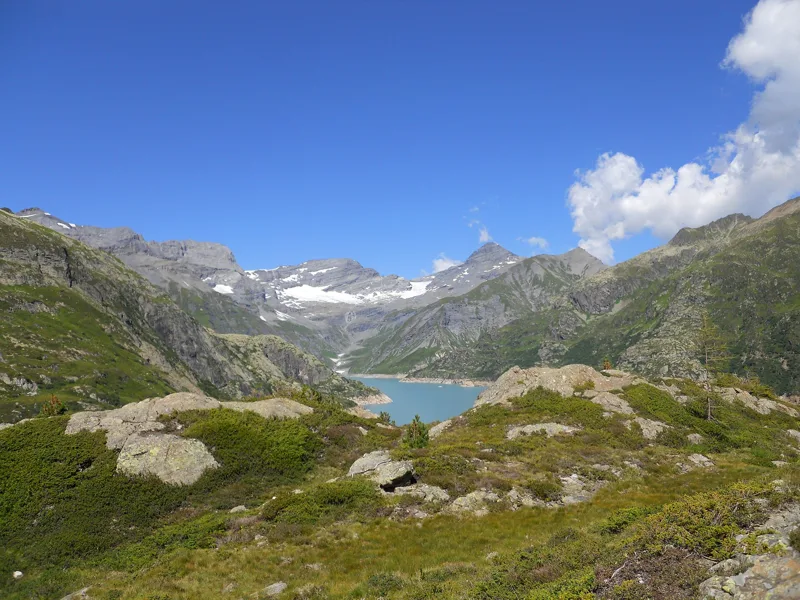
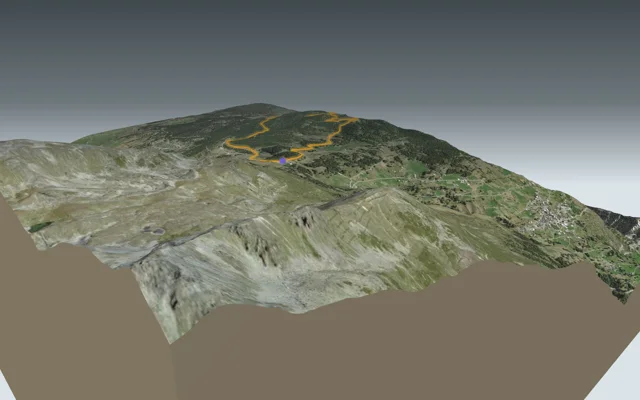
Cab. de Salanfe5 h 50Lac d’Emosson → Cab. de Salanfe13.7kmDistance1,150mAscent1,150mDescentTechnical mediumFrom the Emosson dam to the Auberge de Salanfe, from one reservoir to the next, over the Col de Barberine and the Col d'Emaney.
Loop from Moosalp, Chalte Brunne1 h 55Moosalp Panoramaweg6.3kmDistance280mAscent280mDescentTechnical easyA loop across the Moosalp plateau, past the Breitmattusee and the Bonigersee bog, up to the Stand viewpoint.
Loop from Randa3 h 10Randa Hängebrückenweg7.0kmDistance700mAscent700mDescentTechnical mediumA loop above Randa through the larch forest, with the Charles Kuonen suspension bridge strung across the Grabengufer at the top.
Emosson, Barrage3 h 15Sentier du Balcon du Mont-Blanc8.5kmDistance880mAscent140mDescentTechnical easyFrom the village of Finhaut, or from a station further down the valley, up to the Emosson dam, facing the Mont Blanc massif.
Loop from Moiry, Barrage4 h 45Tour du Lac de Moiry13.6kmDistance840mAscent840mDescentTechnical mediumA high loop around Lac de Moiry: start at the dam, pass the Châteaupré and Bayenna lakes, and finish on top of the dam wall.

Bernese Oberland
19 hikes, 1 h 10 to 9 h 00 of walkingThe region guide Don't missWaldegg3 h 35Niederhorn-Panoramaweg10.8kmDistance400mAscent1,100mDescentTechnical mediumAlong the Güggisgrat ridge, from the Niederhorn to the Gemmenalphorn high above Lake Thun, then the long descent to Waldegg.
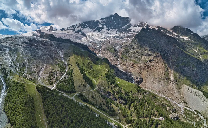
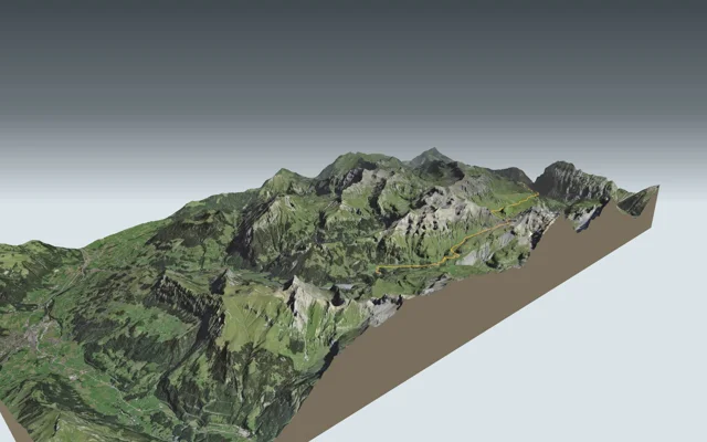
Don't missKleine Scheidegg2 h 50Lauberhorn Trail6.3kmDistance820mAscent260mDescentTechnical mediumUp the Lauberhorn downhill course, from Wengen to the racers' start, with the Eiger, Mönch and Jungfrau in front of you, then Kleine Scheidegg and its train.
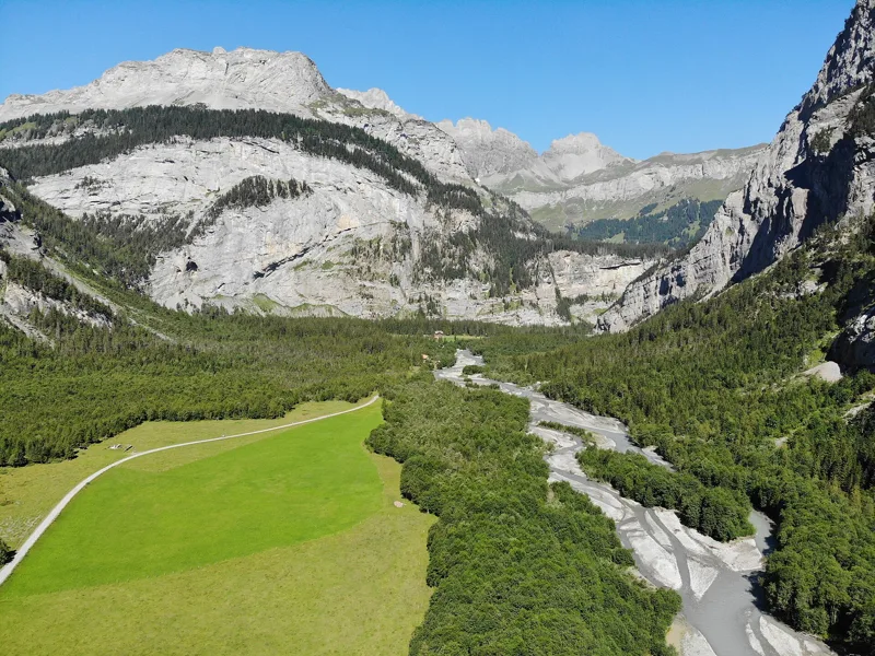
Don't missSelden3 h 00Kandersteg → Selden10.7kmDistance460mAscent90mDescentTechnical mediumFrom Kandersteg station, through the Chluse gorge, to Selden in the Gasterntal, where the Kander still shapes its gravel banks.
Lenk4 h 30Adelboden → Lenk13.9kmDistance700mAscent1,000mDescentTechnical easyFrom one valley to the next over the Hahnenmoos Pass, past high moorland with views of the Wildstrubel, on the old "Reyfstrasse".
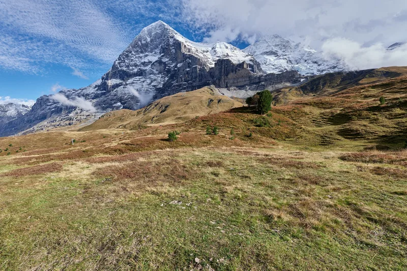
Grindelwald (Alpiglen)1 h 55Eiger Trail6.0kmDistance100mAscent820mDescentTechnical mediumAlong the foot of the Eiger North Face, from a glacier station down to the Alpiglen pasture, with the train to take you back.
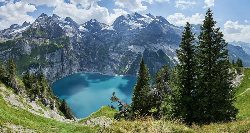
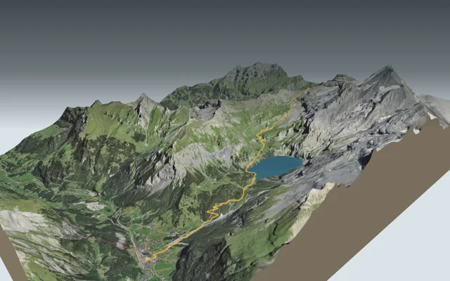
Kandersteg7 h 15Griesalp → Oeschinensee → Kandersteg17.3kmDistance1,450mAscent1,700mDescentTechnical mediumFrom the Kiental up to the Hohtürli pass, at the foot of the Blüemlisalp, then the long way down to the shore of the Oeschinensee and Kandersteg.
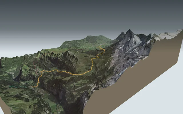
Lauterbrunnen6 h 40Grindelwald → Kleine Scheidegg → Wengen → Lauterbrunnen19.7kmDistance1,150mAscent1,400mDescentTechnical easyFrom the valley of the Black Lütschine to that of the White Lütschine: Grindelwald, Kleine Scheidegg, Wengernalp and Wengen, all the way to Lauterbrunnen and its waterfalls.
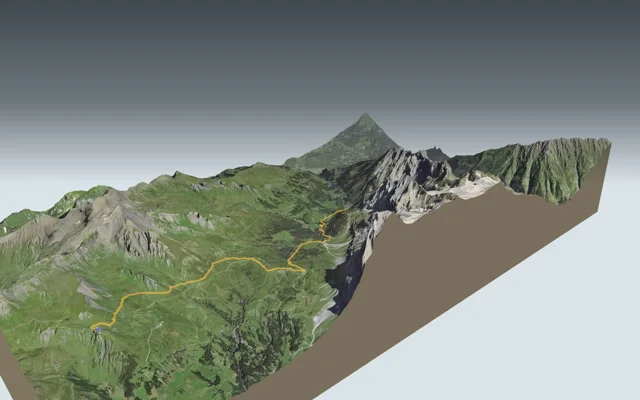
Rosenlaui3 h 20Grindelwald, First → Rosenlaui12.6kmDistance160mAscent1,000mDescentTechnical mediumFrom First to the Grosse Scheidegg pass, right below the Wetterhorn wall, then the long way down to the old spa of Rosenlaui.
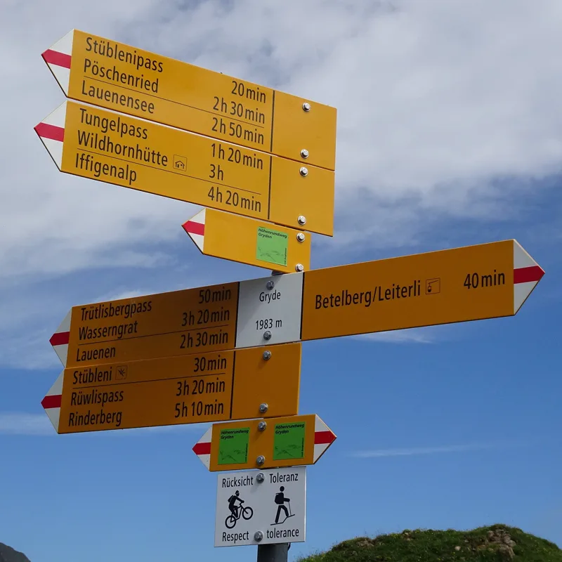
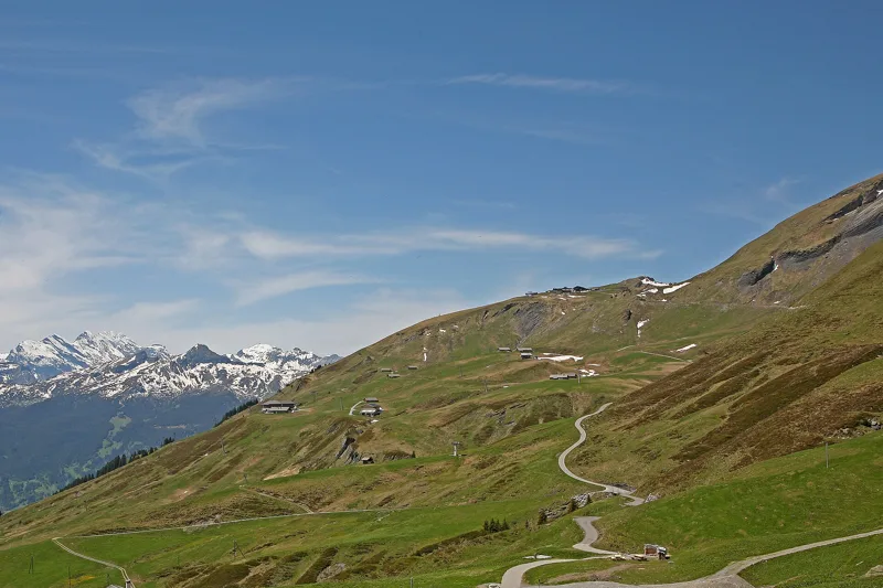
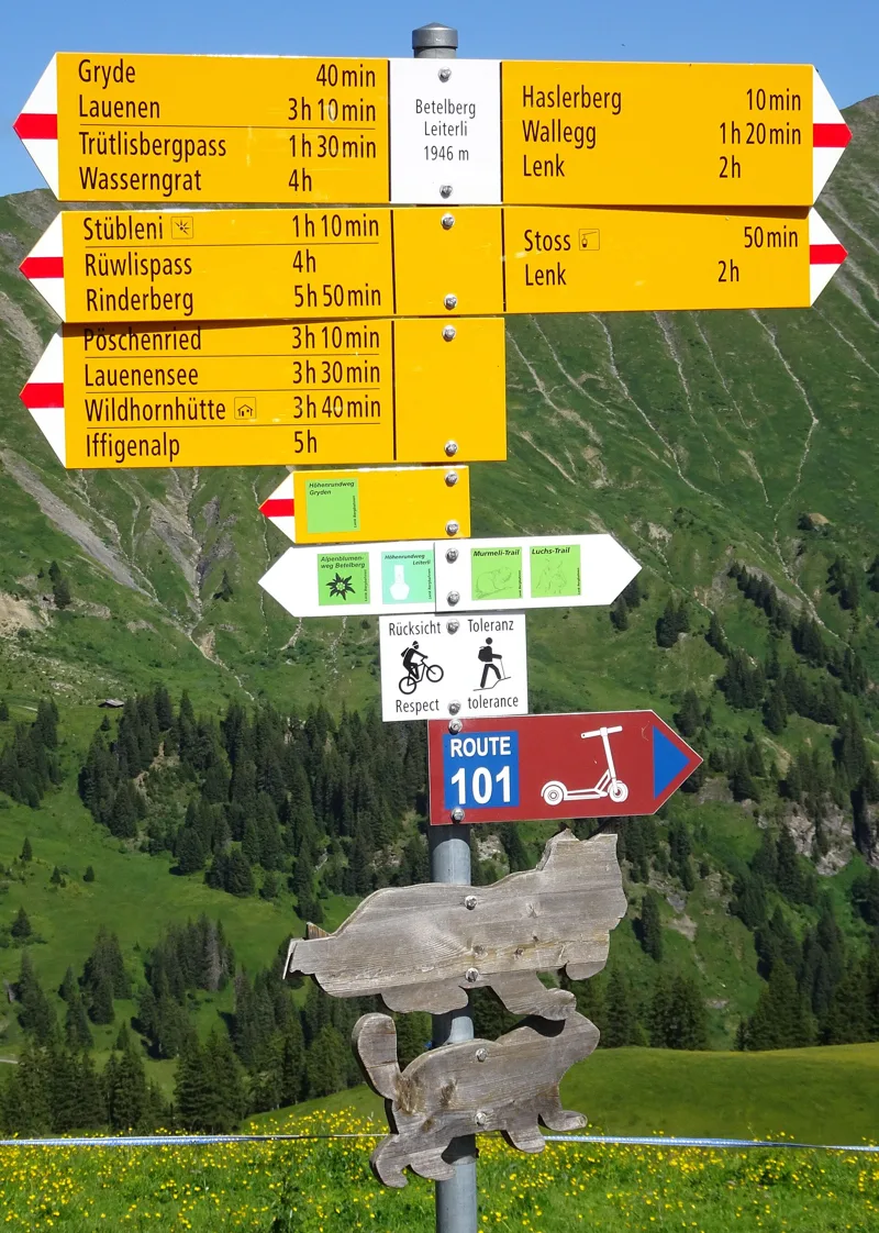
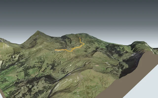
Loop from Lenk, Betelberg2 h 15Höhenrundweg Gryden7.3kmDistance320mAscent320mDescentTechnical mediumA loop above Lenk, between the Betelberg moors and the limestone and gypsum rocks of Gryden, riddled with sinkholes.
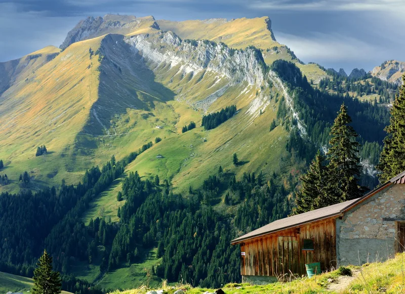
Lauenen4 h 00Höhi-Wispile-Lauenensee-Weg14.0kmDistance300mAscent950mDescentTechnical mediumFrom the Wispile ridge down to the Lauenensee, through a moorland of national importance, ending in the village of Lauenen.
Loop from Lenk (Iffigenalp)4 h 25Iffigsee-Rundweg10.9kmDistance880mAscent880mDescentTechnical mediumEdelweiss by the path, the summit of the Iffighore, then a lake that drains underground and where Roman roof tiles were found.
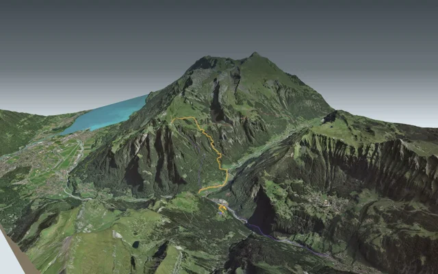
Brienz3 h 25Iseltwald → Brienz11.7kmDistance440mAscent440mDescentTechnical easyFrom Iseltwald to Brienz along the south shore of the lake, with the Giessbach Falls on the way.
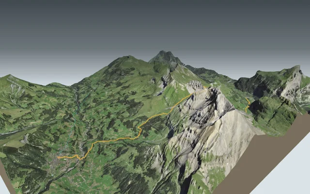
Schynige Platte5 h 00Isenfluh → Schynige Platte10.5kmDistance1,350mAscent480mDescentTechnical mediumFirst down to where the two Lütschine rivers meet, then a long climb through the forest to the alpine garden and the cog railway on Schynige Platte.
Adelboden6 h 45Kandersteg → Adelboden16.2kmDistance1,400mAscent1,250mDescentTechnical mediumFrom one valley to the next, up towards the cliffs of the Lohner and over the Bunderchrinde pass, from the Lötschberg tunnel village to Adelboden.
Griesalp9 h 00Lauterbrunnen → Griesalp22.5kmDistance2,000mAscent1,400mDescentTechnical mediumFrom the valley of waterfalls to the Kiental, via the Mürren terrace, the Rotstockhütte and the Sefinenfurgge pass.
Mürren (Allmendhubel)2 h 00Mountain View Trail5.1kmDistance520mAscent110mDescentTechnical mediumHigh above the Lauterbrunnen valley, through meadows and forest, facing the Eiger, Mönch and Jungfrau, up to Mürren's own little mountain.
Loop from Schynige Platte1 h 55Panoramaweg Schynige Platte5.7kmDistance340mAscent340mDescentTechnical mediumA loop along the ridge, from the cog railway station to the Oberberghorn and the Daube viewpoint, with views of the lakes and of the Eiger, Mönch and Jungfrau.
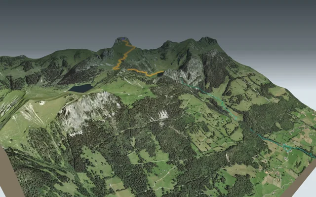
Grindelwald, First5 h 45Schynige Platte → Grindelwald, First16.8kmDistance1,100mAscent900mDescentTechnical mediumFrom the old cog railway at Schynige Platte to the First gondola, passing close to the Faulhorn and the Bachalpsee.
Mittelstation Chrindi1 h 10Stockhorn-Panoramaweg3.4kmDistance50mAscent540mDescentTechnical mediumFrom the top station of the cable car down to its middle station, through alpine pasture, firs and a mountain lake where people fish for trout.

Vaud Alps
13 hikes, 2 h 00 to 7 h 20 of walkingThe region guide Don't missLoop from Col du Pillon3 h 10Tour de La Palette9.2kmDistance560mAscent560mDescentTechnical mediumA loop around the summit of La Palette, past Lac Retaud, Col de Voré and Col des Andérets.
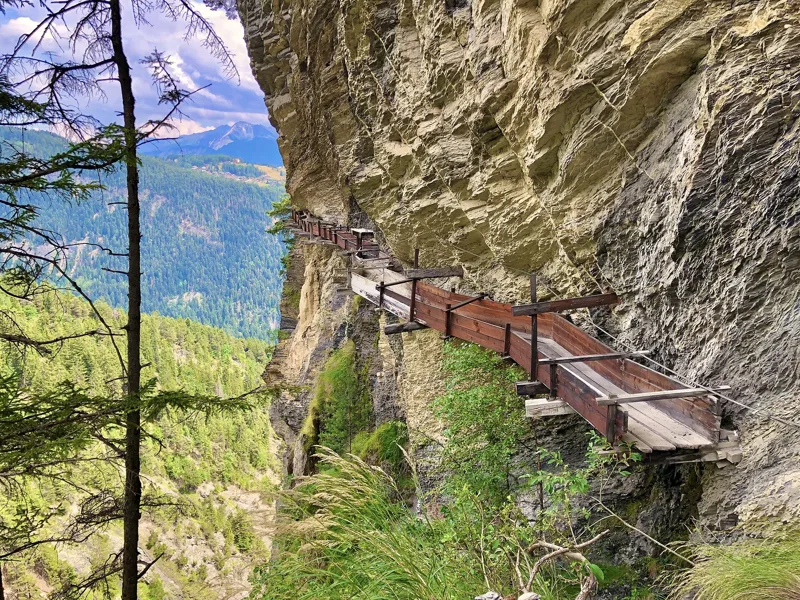
Don't missVillars-sur-Ollon6 h 10Les Diablerets → Villars-sur-Ollon17.9kmDistance1,100mAscent1,000mDescentTechnical mediumFrom Les Diablerets to Villars over the Col de la Croix, past the gypsum pyramids and three mountain lakes, with the train waiting at the finish.
Don't missLoop from Montreux, Les Avants2 h 00Chemin des Narcisses5.6kmDistance360mAscent360mDescentTechnical easyA loop above Montreux, through narcissus meadows, past the ruin of a medieval tower and a funicular from 1910.
Leysin3 h 10Aigle → Leysin7.0kmDistance1,000mAscent10mDescentTechnical mediumFrom the wine town of Aigle up to the plateau of Leysin, the old sun-cure resort, in a single climb, with the rack railway to take you back down.
L'Etivaz5 h 30Château-d'Oex → L'Etivaz13.6kmDistance1,200mAscent1,000mDescentTechnical mediumFrom the village where a balloon took off on the first non-stop flight around the world to the cellars of L'Etivaz alpine cheese, over the Plan de la Douve.
Loop from Bretaye3 h 35Chemin des pyramides de gypse11.6kmDistance540mAscent540mDescentTechnical mediumA loop from the Bretaye railway terminus, past three lakes and L'Encrène, out to the white gypsum pyramids of the Col de la Croix.
Château-d'Oex4 h 15Les Mosses → Château-d'Oex15.4kmDistance400mAscent880mDescentTechnical mediumFrom the nationally important moorland of the Col des Mosses down to the Sarine, then on to the village of Château-d'Oex.
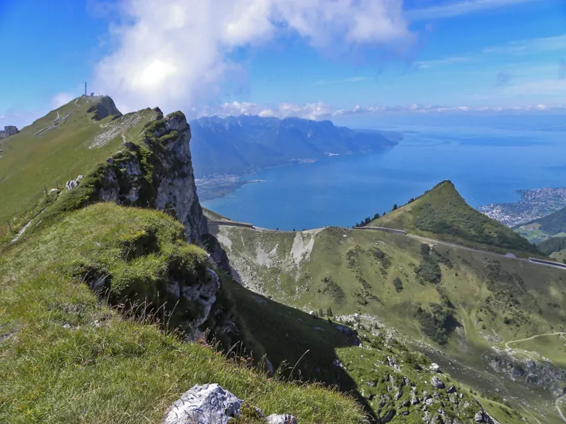
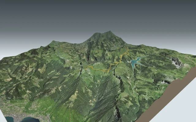
Rochers-de-Naye station5 h 35Rochers-de-Naye13.7kmDistance1,700mAscent90mDescentTechnical mediumFrom the shore of Lake Geneva or from higher up, all the way to the summit station, and the train to bring you back down.
Rochers de Naye7 h 20Rossinière → Rochers de Naye18.3kmDistance1,850mAscent780mDescentTechnical mediumFrom the village of the Grand Chalet to Rochers de Naye station, through the Hongrin valley and over the Col de Chaude.
Loop from Le Sépey2 h 20Sentier des ponts historiques du Sépey7.0kmDistance400mAscent400mDescentTechnical easyA loop around Le Sépey that drops twice to the Grande Eau river, to a stone bridge from 1729 and another from 1778, reopened in 2024.
Leysin2 h 45Sentier des trois tours de Leysin9.2kmDistance220mAscent880mDescentTechnical mediumFrom the revolving restaurant on the Berneuse down to the village, below the Tour d'Aï, Tour de Mayen and Tour de Famelon, past the Aï and Mayen lakes.
Bex3 h 35Sentier du Sel13.2kmDistance360mAscent680mDescentTechnical easyFrom Salins, said to be the first salt spring found in Switzerland, to the Bévieux saltworks, through the hamlets and vineyards of Ollon and Bex.
Loop from Solalex5 h 15Tour de l'Argentine13.4kmDistance1,050mAscent1,050mDescentTechnical mediumA loop below the Miroir d'Argentine, over the great Anzeindaz pasture and the Col des Essets, and back to Solalex.

Central Switzerland
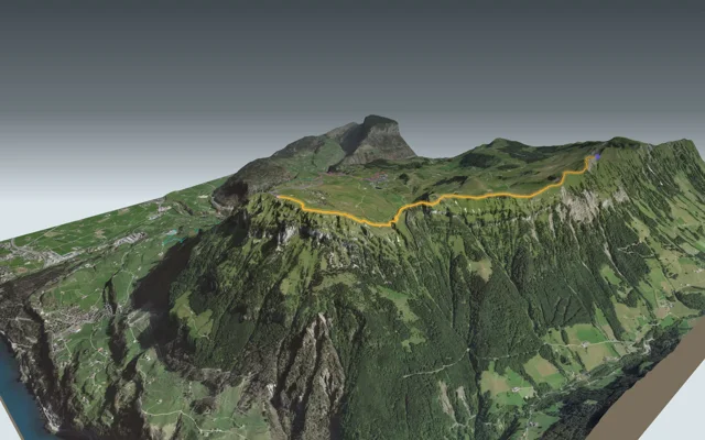
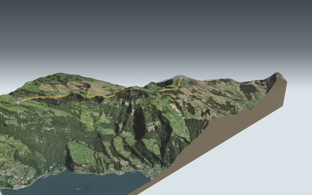
5 hikes, 1 h 50 to 7 h 10 of walkingThe region guide Don't missStoos (Fronalpstock)1 h 50Gratweg Stoos4.5kmDistance380mAscent400mDescentTechnical mediumA ridge between the Klingenstock and the Fronalpstock, Lake Lucerne far below, and a chairlift at each end.
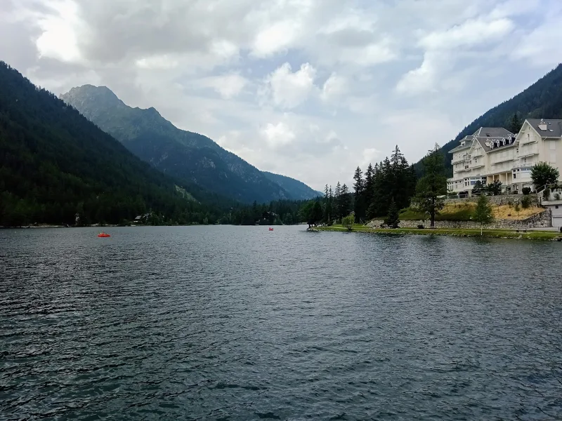
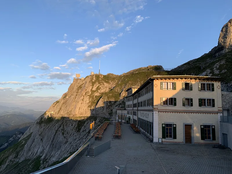
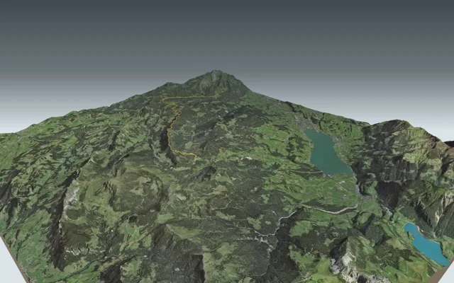
Don't missLangis7 h 10Pilatus Kulm → Langis22.5kmDistance1,050mAscent1,650mDescentTechnical mediumFrom the top of Pilatus, where the world's steepest cogwheel railway arrives, to Langis, across the largest moorland in Switzerland.
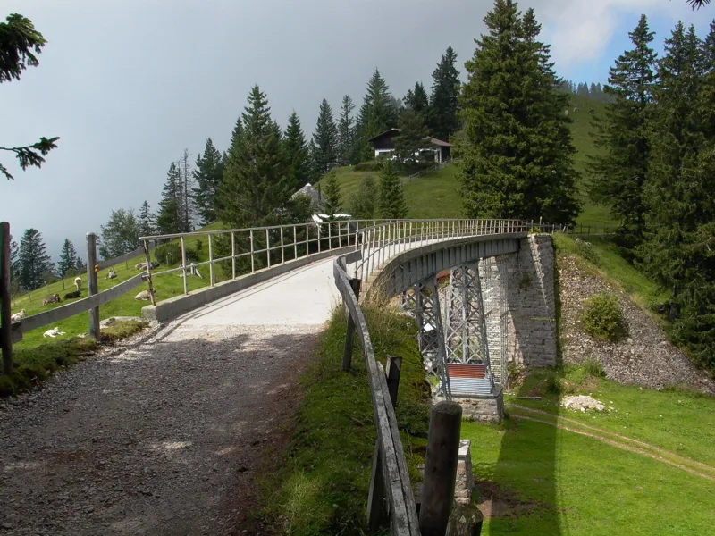
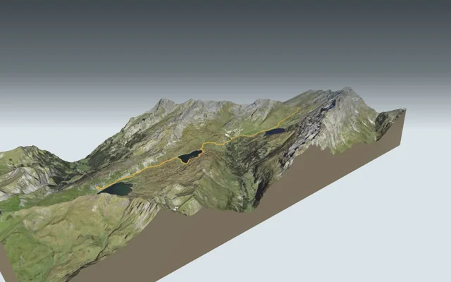
Don't missRigi Scheidegg1 h 50Rigi-Panoramaweg7.1kmDistance220mAscent20mDescentTechnical difficultAlong the bed of an old mountain railway, from Rigi Kaltbad to Rigi Scheidegg, over an iron bridge riveted like the Eiffel Tower.
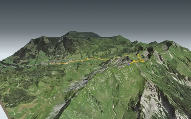
Sörenberg3 h 00Brienzer Rothorn → Sörenberg9.9kmDistance100mAscent1,250mDescentTechnical mediumFrom the top of the Brienzer Rothorn to the source of the Emme, then along the Waldemme down to Sörenberg.
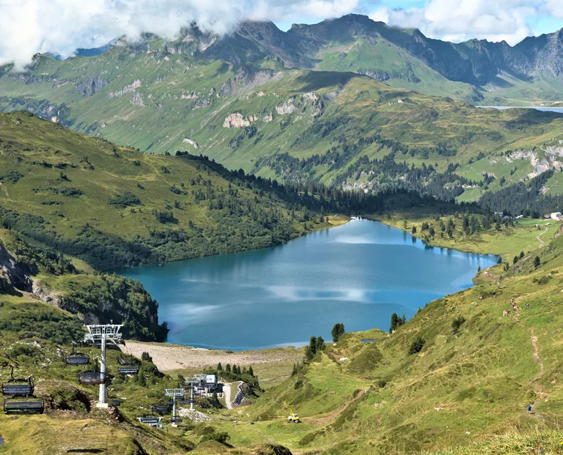
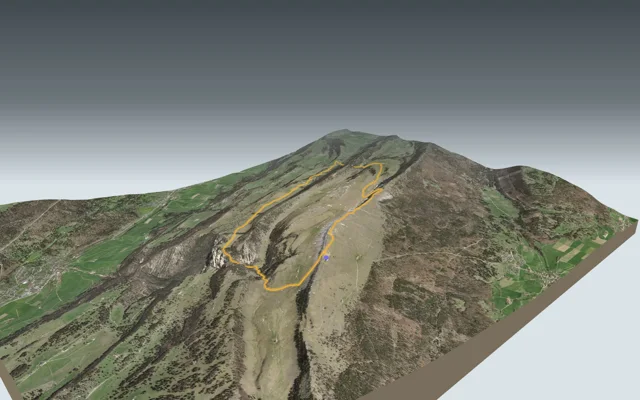
Engelberg (Trübsee)4 h 35Vier-Seen-Wanderung14.9kmDistance620mAscent760mDescentTechnical mediumFour mountain lakes in one day, from the Melchsee to the Trübsee, with the Jochpass in between and the gondola down to Engelberg.

Jura
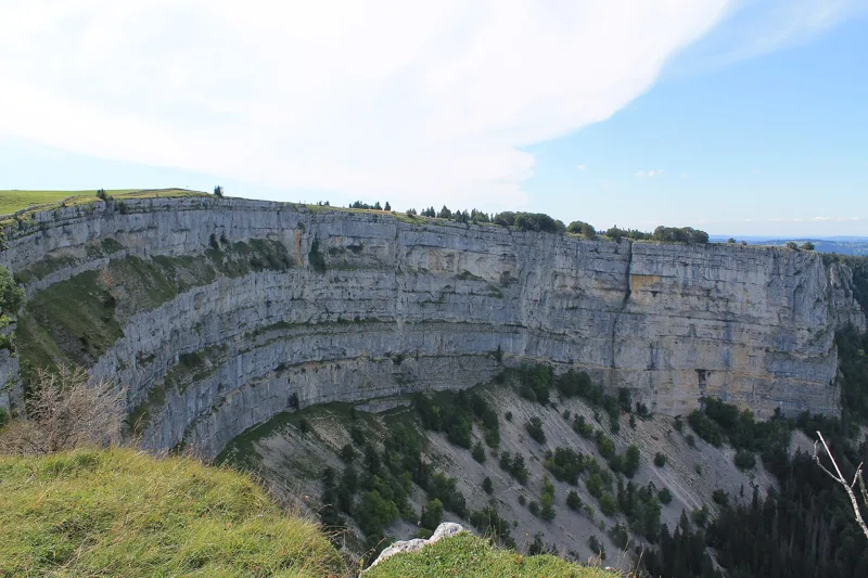
4 hikes, 3 h 00 to 5 h 00 of walkingThe region guide Don't missLoop from Noiraigue4 h 35Sentier du Creux du Van14.6kmDistance780mAscent780mDescentTechnical easyFrom Noiraigue station up to the rim of a limestone cirque, along the cliff, and back down past the Ferme Robert.
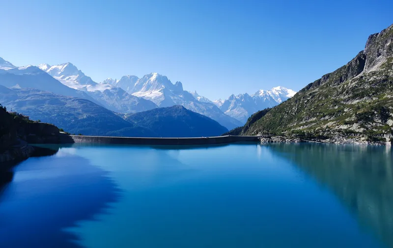
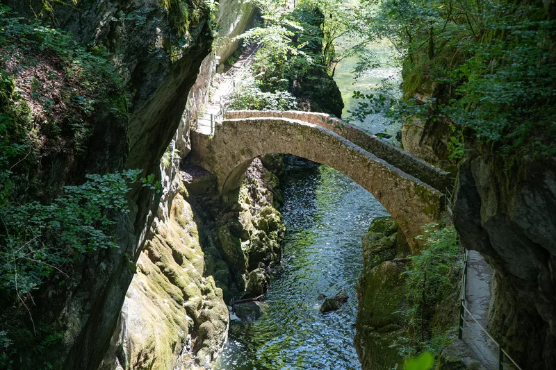
Don't missBoudry3 h 00Sentier des Gorges de l'Areuse11.9kmDistance170mAscent460mDescentTechnical mediumThe Areuse squeezes between the cliffs of the Jura: follow it from bridge to footbridge out of Noiraigue, and the tram brings you back from Boudry.
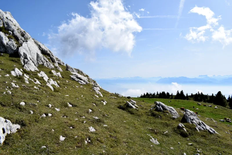
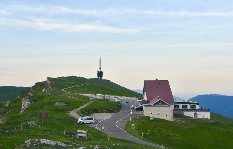
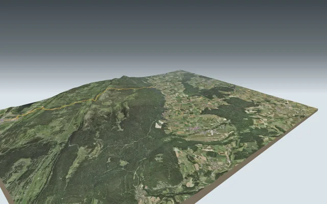
Don't missLoop from Chasseral, Hôtel3 h 50Chemin de Chasseral13.3kmDistance540mAscent540mDescentTechnical easyA loop through the pastures and mountain farms of the Chasseral, finishing over the summit and its mast.
Montricher5 h 00Mont Tendre: Au sommet du Jura15.9kmDistance760mAscent1,000mDescentTechnical easyFrom the Vallée de Joux to the highest summit of the Swiss Jura, then the long walk down to the foot of the Jura.

Fribourg and Gruyère
6 hikes, 3 h 00 to 5 h 45 of walkingThe region guide Don't missLe Moléson, station supérieure du téléphérique3 h 00Sentier de la crête du Moléson8.1kmDistance720mAscent240mDescentTechnical mediumA long loop through the Gruyère alpine pastures, then the ridge to the top of the Moléson, and the cable car back down.
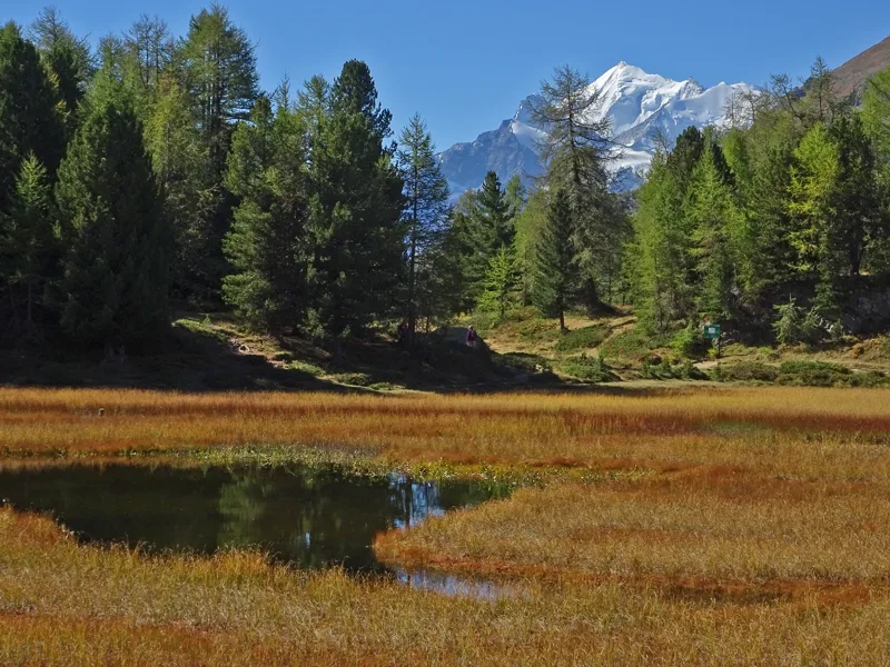
Don't missLoop from Schwarzsee5 h 45The Schwyberg loop from the Schwarzsee (Lac Noir)18.3kmDistance900mAscent900mDescentTechnical mediumA loop from the Schwarzsee along the whole length of the Schwyberg, with the Swiss Plateau on one side and the Prealps and Alps on the other, then back beside the Warme Sense.
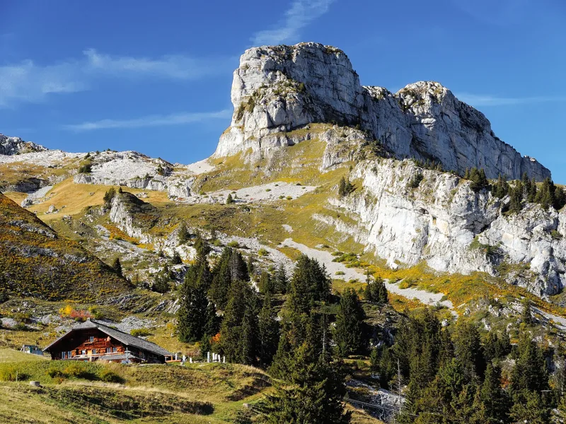
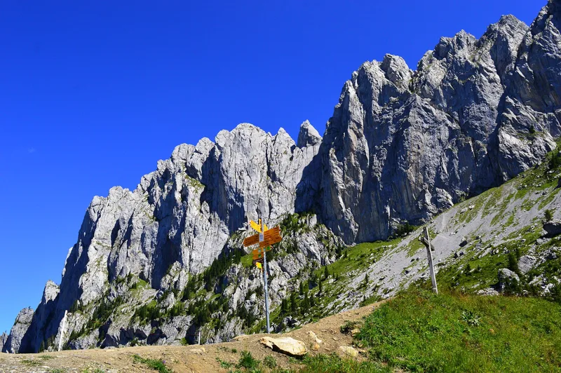
Don't missLoop from Jaun, Musersbergli4 h 00Gastlosen Tour10.9kmDistance780mAscent780mDescentTechnical mediumA loop at the foot of the limestone towers of the Gastlosen, from canton Fribourg into canton Bern and back, over the Wolfs Ort pass.
Schwarzsee, Gypsera4 h 10Breccaschlund-Panoramaweg13.8kmDistance480mAscent900mDescentTechnical easyA glacial limestone valley dotted with maples and alpine huts, between the Riggisalp chairlift and the shore of Schwarzsee.
Fribourg, Petit-Saint-Jean3 h 00Gorges du Gottéron10.9kmDistance320mAscent420mDescentTechnical easyFrom Fribourg's old town to the sandstone cliffs of the Gottéron, then back via Bourguillon and the Dürrenbühl Tower.
Loop from Charmey, La Valsainte4 h 35La Berra par la Valsainte13.9kmDistance820mAscent820mDescentTechnical mediumFrom La Valsainte, the last Carthusian monastery in Switzerland, up to the top of La Berra, then back via the Hauta Chia mountain café and Les Mossettes.
Hikers' favourites
Ranked by hikers' reviews on this site.
Rating = average of the diamonds given by hikers, from 1 to 5. A hike joins the ranking once it has 5 reviews, each checked before it goes online.
Find a hike
67 hikes
Valais
20 hikes

Switzerland / Valais
5-Seenweg Zermatt
Zermatt, Sunnegga3 h 15
11.3 km, 380 m ↑, 660 m ↓
Technical medium
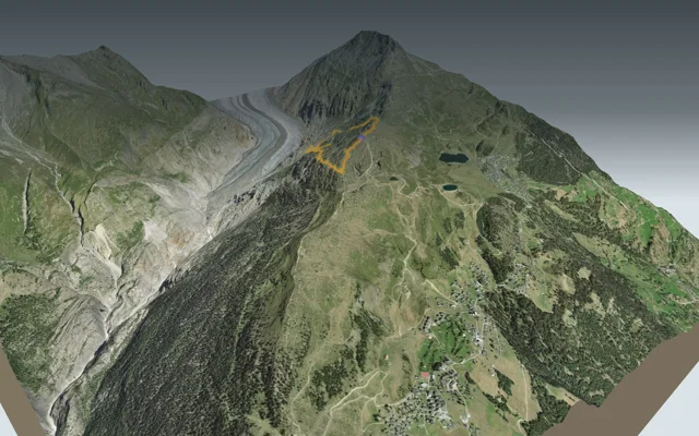
Switzerland / Valais
Aletschgletscher Aussichtsweg
Loop from Riederalp, Moosfluh2 h 35
6.6 km, 500 m ↑, 500 m ↓
Technical medium

Switzerland / Valais
Blatten, Belalp → Riederalp, Riederfurka
Riederalp, Riederfurka3 h 45
9.9 km, 700 m ↑, 740 m ↓
Technical medium
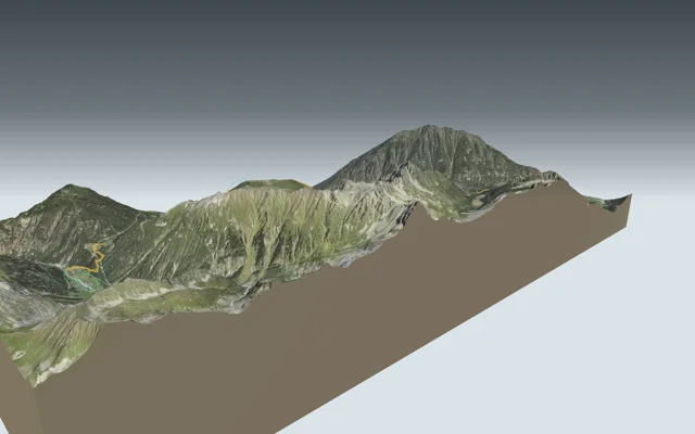
Switzerland / Valais
Champex → Trient
Trient5 h 30
16.3 km, 880 m ↑, 1,050 m ↓
Technical medium
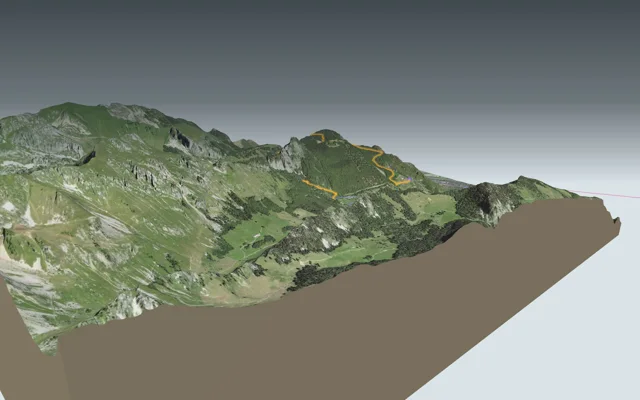
Switzerland / Valais
Chemin du Lac de Taney
Miex, Le Flon3 h 00
8.4 km, 640 m ↑, 540 m ↓
Technical medium
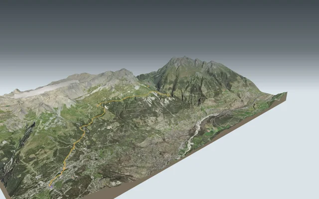
Switzerland / Valais
Crans-Montana → Leukerbad
Leukerbad7 h 40
24.4 km, 1,150 m ↑, 1,250 m ↓
Technical medium
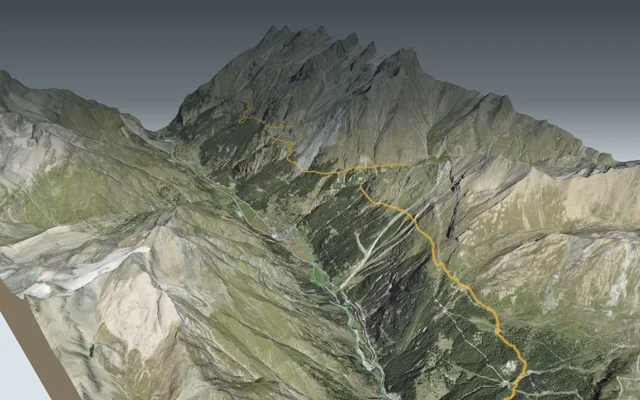
Switzerland / Valais
Europaweg: Europahütte → Zermatt
Zermatt6 h 45
19.5 km, 1,000 m ↑, 1,650 m ↓
Technical medium
Switzerland / Valais
Europaweg: Grächen → Europahütte
Europahütte7 h 10
16.9 km, 1,700 m ↑, 1,050 m ↓
Technical medium
Switzerland / Valais
Evolène → Arolla
Arolla6 h 20
15.0 km, 1,500 m ↑, 880 m ↓
Technical medium

Switzerland / Valais
Gampel → Ausserberg
Ausserberg3 h 45
12.0 km, 620 m ↑, 240 m ↓
Technical easy

Switzerland / Valais
Gemsweg Saas-Fee
Saas-Fee2 h 20
7.9 km, 190 m ↑, 720 m ↓
Technical medium

Switzerland / Valais
Grand Bisse d'Ayent
Arbaz, Etang-Long3 h 10
12.0 km, 150 m ↑, 620 m ↓
Technical medium

Switzerland / Valais
La Fouly → Champex-Lac
Champex-Lac4 h 30
15.2 km, 600 m ↑, 740 m ↓
Technical easy
Switzerland / Valais
Lac d’Emosson → Cab. de Salanfe
Cab. de Salanfe5 h 50
13.7 km, 1,150 m ↑, 1,150 m ↓
Technical medium
Switzerland / Valais
Moosalp Panoramaweg
Loop from Moosalp, Chalte Brunne1 h 55
6.3 km, 280 m ↑, 280 m ↓
Technical easy

Switzerland / Valais
Randa Hängebrückenweg
Loop from Randa3 h 10
7.0 km, 700 m ↑, 700 m ↓
Technical medium

Switzerland / Valais
Sentier du Balcon du Mont-Blanc
Emosson, Barrage3 h 15
8.5 km, 880 m ↑, 140 m ↓
Technical easy

Switzerland / Valais
Sentier Panorama 4000
Crans-Montana, Aminona4 h 30
13.6 km, 540 m ↑, 1,300 m ↓
Technical medium

Switzerland / Valais
Tour du Lac de Moiry
Loop from Moiry, Barrage4 h 45
13.6 km, 840 m ↑, 840 m ↓
Technical medium

Switzerland / Valais
Vercorin → Grimentz
Grimentz5 h 25
16.8 km, 900 m ↑, 660 m ↓
Technical easy
Bernese Oberland
19 hikes

Switzerland / Bern / Bernese Oberland
Adelboden → Lenk
Lenk4 h 30
13.9 km, 700 m ↑, 1,000 m ↓
Technical easy

Switzerland / Bern / Bernese Oberland
Eiger Trail
Grindelwald (Alpiglen)1 h 55
6.0 km, 100 m ↑, 820 m ↓
Technical medium
Switzerland / Bern / Bernese Oberland
Griesalp → Oeschinensee → Kandersteg
Kandersteg7 h 15
17.3 km, 1,450 m ↑, 1,700 m ↓
Technical medium
Switzerland / Bern / Bernese Oberland
Grindelwald → Kleine Scheidegg → Wengen → Lauterbrunnen
Lauterbrunnen6 h 40
19.7 km, 1,150 m ↑, 1,400 m ↓
Technical easy
Switzerland / Bern / Bernese Oberland
Grindelwald, First → Rosenlaui
Rosenlaui3 h 20
12.6 km, 160 m ↑, 1,000 m ↓
Technical medium
Switzerland / Bern / Bernese Oberland
Höhenrundweg Gryden
Loop from Lenk, Betelberg2 h 15
7.3 km, 320 m ↑, 320 m ↓
Technical medium

Switzerland / Bern / Bernese Oberland
Höhi-Wispile-Lauenensee-Weg
Lauenen4 h 00
14.0 km, 300 m ↑, 950 m ↓
Technical medium

Switzerland / Bern / Bernese Oberland
Iffigsee-Rundweg
Loop from Lenk (Iffigenalp)4 h 25
10.9 km, 880 m ↑, 880 m ↓
Technical medium

Switzerland / Bern / Bernese Oberland
Iseltwald → Brienz
Brienz3 h 25
11.7 km, 440 m ↑, 440 m ↓
Technical easy
Switzerland / Bern / Bernese Oberland
Isenfluh → Schynige Platte
Schynige Platte5 h 00
10.5 km, 1,350 m ↑, 480 m ↓
Technical medium
Switzerland / Bern / Bernese Oberland
Kandersteg → Adelboden
Adelboden6 h 45
16.2 km, 1,400 m ↑, 1,250 m ↓
Technical medium

Switzerland / Bern / Bernese Oberland
Kandersteg → Selden
Selden3 h 00
10.7 km, 460 m ↑, 90 m ↓
Technical medium

Switzerland / Bern / Bernese Oberland
Lauberhorn Trail
Kleine Scheidegg2 h 50
6.3 km, 820 m ↑, 260 m ↓
Technical medium
Switzerland / Bern / Bernese Oberland
Lauterbrunnen → Griesalp
Griesalp9 h 00
22.5 km, 2,000 m ↑, 1,400 m ↓
Technical medium

Switzerland / Bern / Bernese Oberland
Mountain View Trail
Mürren (Allmendhubel)2 h 00
5.1 km, 520 m ↑, 110 m ↓
Technical medium

Switzerland / Bern / Bernese Oberland
Niederhorn-Panoramaweg
Waldegg3 h 35
10.8 km, 400 m ↑, 1,100 m ↓
Technical medium

Switzerland / Bern / Bernese Oberland
Panoramaweg Schynige Platte
Loop from Schynige Platte1 h 55
5.7 km, 340 m ↑, 340 m ↓
Technical medium

Switzerland / Bern / Bernese Oberland
Schynige Platte → Grindelwald, First
Grindelwald, First5 h 45
16.8 km, 1,100 m ↑, 900 m ↓
Technical medium
Switzerland / Bern / Bernese Oberland
Stockhorn-Panoramaweg
Mittelstation Chrindi1 h 10
3.4 km, 50 m ↑, 540 m ↓
Technical medium
Vaud Alps
13 hikes

Switzerland / Vaud / Vaud Alps
Aigle → Leysin
Leysin3 h 10
7.0 km, 1,000 m ↑, 10 m ↓
Technical medium

Switzerland / Vaud / Vaud Alps
Château-d'Oex → L'Etivaz
L'Etivaz5 h 30
13.6 km, 1,200 m ↑, 1,000 m ↓
Technical medium

Switzerland / Vaud / Vaud Alps
Chemin des Narcisses
Loop from Montreux, Les Avants2 h 00
5.6 km, 360 m ↑, 360 m ↓
Technical easy

Switzerland / Vaud / Vaud Alps
Chemin des pyramides de gypse
Loop from Bretaye3 h 35
11.6 km, 540 m ↑, 540 m ↓
Technical medium

Switzerland / Vaud / Vaud Alps
Les Diablerets → Villars-sur-Ollon
Villars-sur-Ollon6 h 10
17.9 km, 1,100 m ↑, 1,000 m ↓
Technical medium

Switzerland / Vaud / Vaud Alps
Les Mosses → Château-d'Oex
Château-d'Oex4 h 15
15.4 km, 400 m ↑, 880 m ↓
Technical medium

Switzerland / Vaud / Montreux Riviera
Rochers-de-Naye
Rochers-de-Naye station5 h 35
13.7 km, 1,700 m ↑, 90 m ↓
Technical medium
Switzerland / Vaud / Vaud Alps
Rossinière → Rochers de Naye
Rochers de Naye7 h 20
18.3 km, 1,850 m ↑, 780 m ↓
Technical medium

Switzerland / Vaud / Vaud Alps
Sentier des ponts historiques du Sépey
Loop from Le Sépey2 h 20
7.0 km, 400 m ↑, 400 m ↓
Technical easy

Switzerland / Vaud / Vaud Alps
Sentier des trois tours de Leysin
Leysin2 h 45
9.2 km, 220 m ↑, 880 m ↓
Technical medium

Switzerland / Vaud / Vaud Alps
Sentier du Sel
Bex3 h 35
13.2 km, 360 m ↑, 680 m ↓
Technical easy

Switzerland / Vaud / Vaud Alps
Tour de l'Argentine
Loop from Solalex5 h 15
13.4 km, 1,050 m ↑, 1,050 m ↓
Technical medium

Switzerland / Vaud / Vaud Alps
Tour de La Palette
Loop from Col du Pillon3 h 10
9.2 km, 560 m ↑, 560 m ↓
Technical medium
Central Switzerland
5 hikes
Switzerland / Central Switzerland
Brienzer Rothorn → Sörenberg
Sörenberg3 h 00
9.9 km, 100 m ↑, 1,250 m ↓
Technical medium
Switzerland / Central Switzerland
Gratweg Stoos
Stoos (Fronalpstock)1 h 50
4.5 km, 380 m ↑, 400 m ↓
Technical medium
Switzerland / Central Switzerland
Pilatus Kulm → Langis
Langis7 h 10
22.5 km, 1,050 m ↑, 1,650 m ↓
Technical medium
Switzerland / Central Switzerland
Rigi-Panoramaweg
Rigi Scheidegg1 h 50
7.1 km, 220 m ↑, 20 m ↓
Technical difficult
Switzerland / Central Switzerland
Vier-Seen-Wanderung
Engelberg (Trübsee)4 h 35
14.9 km, 620 m ↑, 760 m ↓
Technical medium
Jura
4 hikes
Switzerland / Jura
Chemin de Chasseral
Loop from Chasseral, Hôtel3 h 50
13.3 km, 540 m ↑, 540 m ↓
Technical easy
Switzerland / Jura
Mont Tendre: Au sommet du Jura
Montricher5 h 00
15.9 km, 760 m ↑, 1,000 m ↓
Technical easy
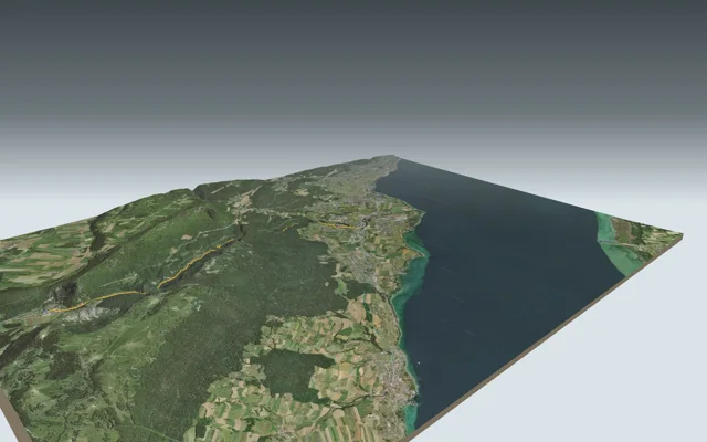
Switzerland / Jura
Sentier des Gorges de l'Areuse
Boudry3 h 00
11.9 km, 170 m ↑, 460 m ↓
Technical medium
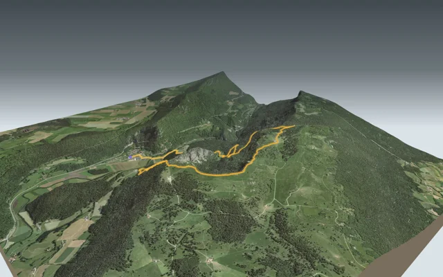
Switzerland / Jura
Sentier du Creux du Van
Loop from Noiraigue4 h 35
14.6 km, 780 m ↑, 780 m ↓
Technical easy
Fribourg and Gruyère
6 hikes
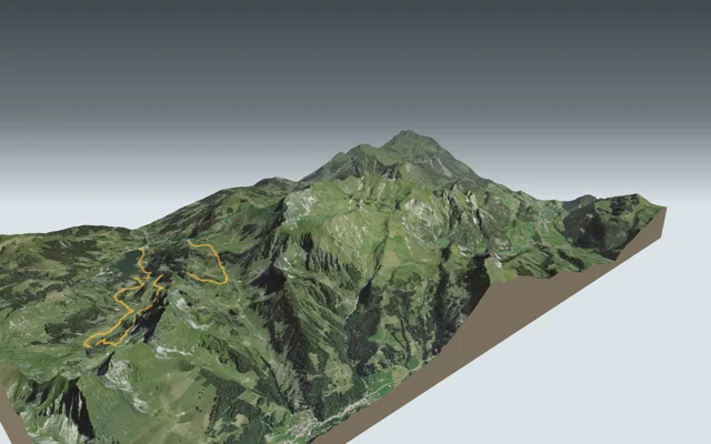
Switzerland / Fribourg and Gruyère
Breccaschlund-Panoramaweg
Schwarzsee, Gypsera4 h 10
13.8 km, 480 m ↑, 900 m ↓
Technical easy
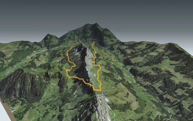
Switzerland / Fribourg and Gruyère
Gastlosen Tour
Loop from Jaun, Musersbergli4 h 00
10.9 km, 780 m ↑, 780 m ↓
Technical medium
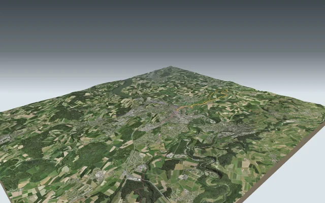
Switzerland / Fribourg and Gruyère
Gorges du Gottéron
Fribourg, Petit-Saint-Jean3 h 00
10.9 km, 320 m ↑, 420 m ↓
Technical easy
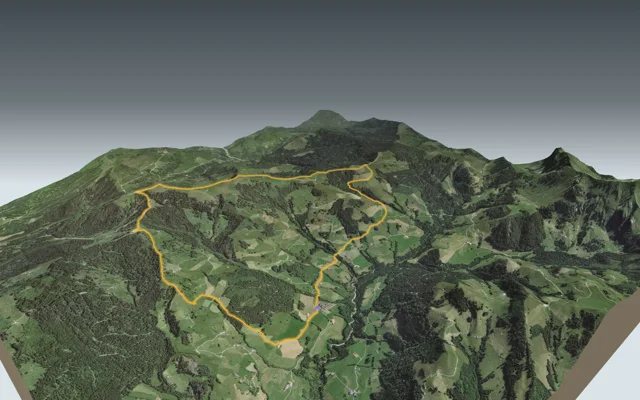
Switzerland / Fribourg and Gruyère
La Berra par la Valsainte
Loop from Charmey, La Valsainte4 h 35
13.9 km, 820 m ↑, 820 m ↓
Technical medium
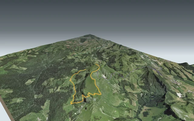
Switzerland / Fribourg and Gruyère
Sentier de la crête du Moléson
Le Moléson, station supérieure du téléphérique3 h 00
8.1 km, 720 m ↑, 240 m ↓
Technical medium
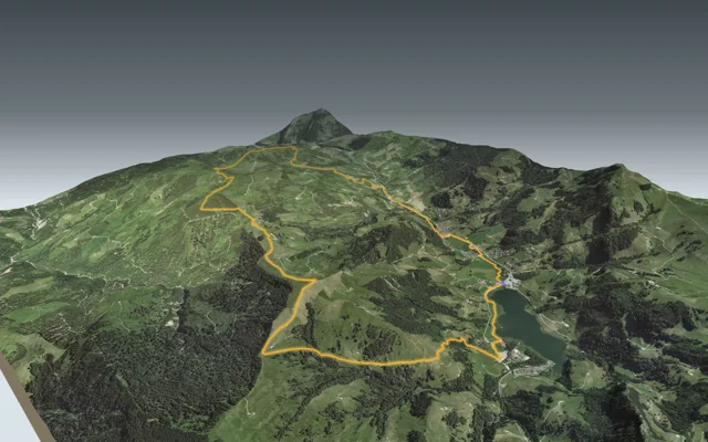
Switzerland / Fribourg and Gruyère
The Schwyberg loop from the Schwarzsee (Lac Noir)
Loop from Schwarzsee5 h 45
18.3 km, 900 m ↑, 900 m ↓
Technical medium
No hike matches these filters. Remove one.
Questions people ask
How many hikes does Bivio offer?
67 hikes in 6 regions: Valais (20), Bernese Oberland (19), Vaud Alps (13), Central Switzerland (5), Jura (4) and Fribourg and Gruyère (6). Each one has its 3D flyover, official walking time, weather and train home.
Where do the walking times come from?
From Switzerland's official hiking routes: it is the time on the yellow signposts, breaks not included.
Does the 3D show the real terrain?
Yes. The terrain comes from Switzerland's official terrain model and the imagery from its aerial photos, with a point every 5 m near the trail. Details are on the Sources page.
How fresh are the weather and train times?
The forecast and the departures from the official public transport timetable are read live from the official services and shown with the time they were read.
Which is the shortest?
Stockhorn-Panoramaweg: 1 h 10 of walking (official time), 3.4 km, 50 m of climbing.
Where our figures come from
Official route and walking time
Every hike follows an official waymarked route. The walking times and grades shown are the official ones, read from the public file, with its date (Sources page).
Real Swiss terrain
The 3D view, profile, distance and altitudes are calculated on Switzerland's official elevation model and aerial photos, with a point every 5 m near the trail. The ascent and descent shown on each hike are the route's official figures.
Snow, closed trails, weather
The forecast, the snow measured at stations and closed trails come from the official services, each with the time we read it. Until a value is read at its source, nothing is shown in its place. Details are on the Sources page.